
By DANIEL KITTREDGE For most Rhode Islanders, the most devastating storms of the last century - the Hurricane of 1938 and Hurricane Carol in 1954 - are remembered largely through black-and-white images, along with the stories of older friends and loved
This item is available in full to subscribers.
We have recently launched a new and improved website. To continue reading, you will need to either log into your subscriber account, or purchase a new subscription.
If you are a current print subscriber, you can set up a free website account by clicking here.
Otherwise, click here to view your options for subscribing.
Please log in to continue |
|


For most Rhode Islanders, the most devastating storms of the last century – the Hurricane of 1938 and Hurricane Carol in 1954 – are remembered largely through black-and-white images, along with the stories of older friends and loved ones who lived through those destructive episodes.
“We see those historic photos from 1954 and 1938 – it really takes your breath away, the damage that resulted from those,” said Teresa Crean, a community planner and coastal management extension specialist with the Coastal Resources Center and Sea Grant at the University of Rhode Island’s Graduate School of Oceanography.
There have been other major weather events in more recent years, of course, like Hurricane Bob in 1991, the floods of 2010 and Superstorm Sandy in 2012.
But it is the flooding that accompanied the earlier storms that may prove more instructive – and cautionary – as Rhode Islanders seek to prepare for the effects of climate change and rising sea levels in the decades to come.
“It’s really important that we don’t get storm amnesia here in the state of Rhode Island,” Crean told members of the Edgewood Waterfront Preservation Association last week during the group’s annual meeting, held via Zoom.
Crean’s presentation, “A Peek into the Future: Climate Change & Rising Sea Levels in Cranston,” focused largely on the work she and her peers are doing “to bring the best available research from the University of Rhode Island and our researchers out to decision-makers … to encourage informed decision-making.”
“The only thing I advocate for,” she added, “is using the best available science.”
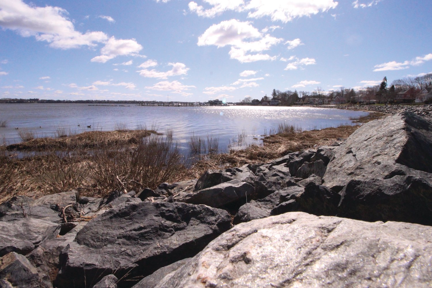
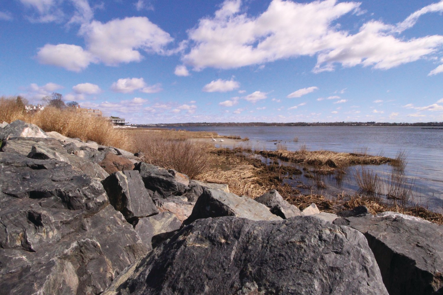
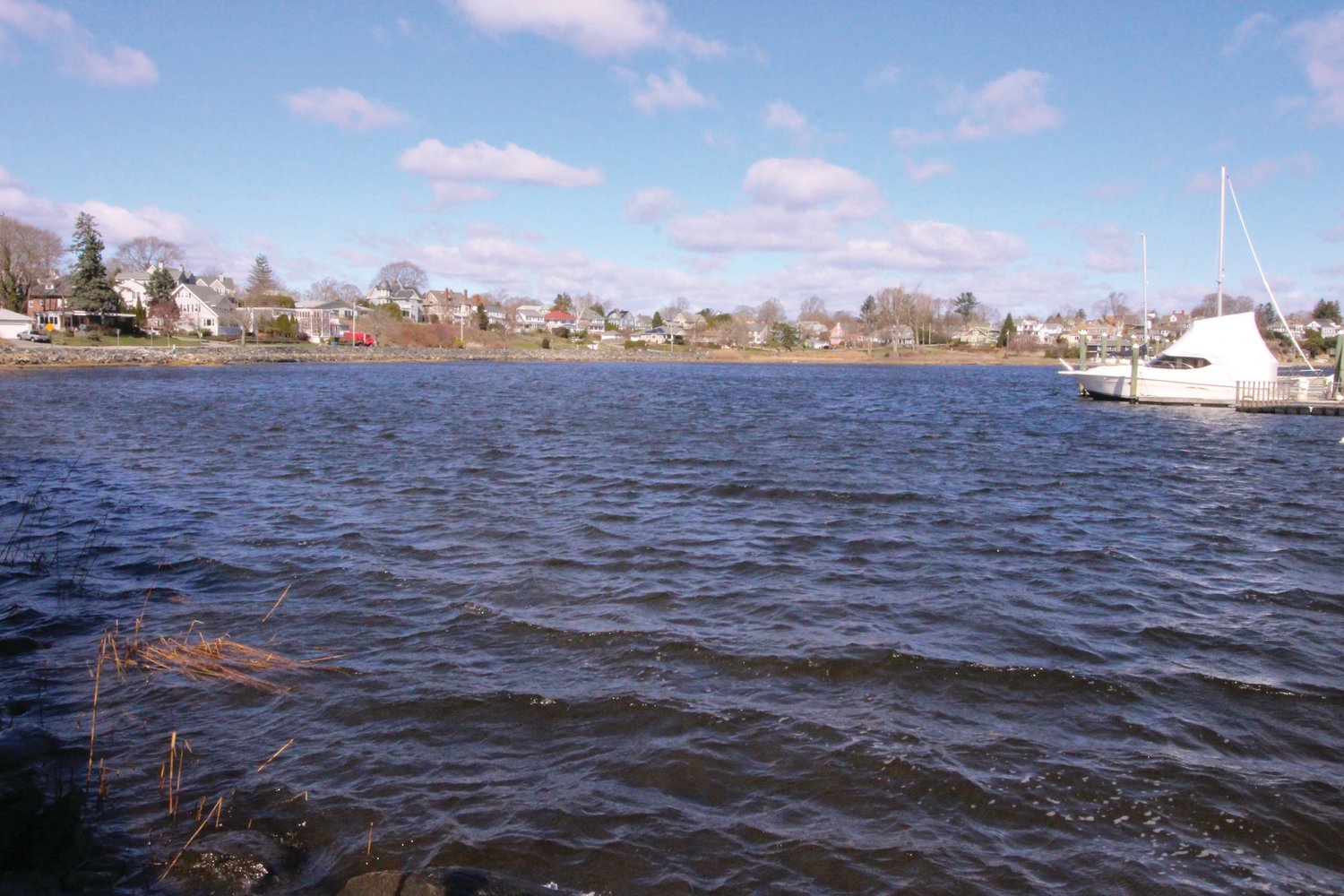
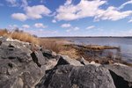
It also served as an opportunity to highlight the EWPA’s work at Stillhouse Cove, which has experienced a remarkable turnaround in the last two-plus decades.
The nonprofit association, which is marking the 25th anniversary of its 1996 founding, has worked with officials and other groups to revitalize the salt marsh and surrounding park, with specific projects aimed at staving off erosion, managing stormwater and enhancing the space for public recreational use.
Crean told those taking part in the EWPA meeting that Stillhouse Cove has become a “leader” and a “model of adaptation action in Rhode Island” in terms of utilizing green infrastructure to address pollutants, stabilize the shoreline and manage water levels.
Much more work is ahead in Cranston and beyond, Crean said, particularly when it comes to addressing the effects of, and mitigating the risks associated with, rising seas.
She devoted a significant portion of her presentation to the interactive online tool Stormtools, which allows users to visualize the projected impact of sea level rise and storm-related water inundation. The tool is focused exclusively on Rhode Island, and can provide a granular, high-resolution look at where water would extend in various scenarios – even down to individual properties and driveways.
Crean summarized the value of Stormtools by saying it allows Rhode Islanders to “know our risk so we can make a plan and take action.” And the risks for coastal areas, including the neighborhood around Stillhouse Cove, are considerable.
“The joke is that Rhode Island is 3 percent bigger at low tide,” she said, “so we have a lot of assets at risk along our coastline.”
Observations from a tide gauge at Naval Station Newport, Crean said, show a 10-inch rise in sea level since 1930. Roughly 6 inches of that increase, she said, has come since 1970.
Projections for Rhode Island used by the state’s Coastal Resources Management Council, via the National Oceanographic and Atmospheric Administration, foresee another 3 feet of increase – as compared with measurements from 2000 – by 2050. Already, she said, the state has seen about a foot of increase since 2000. By the end of the century, the increase is projected to reach 9.6 feet.
Crean said CRMC has adopted the “high curve” among NOAA’s sea level projections because it is tracking most closely with observations from the field. She also said Rhode Island has been “more aggressive in its commitment” to those higher-end projections in an effort to address – and hopefully, prepare for – the worst-case scenarios.
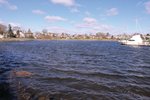
During last week’s presentation, Crean used Stormtools to illustrate the potential impact of various sea level rise and flooding scenarios on the streets surrounding Stillhouse Cove. The intersection of Fort and Ocean avenues became a particular point of reference.
She said if a storm of the same magnitude as Hurricane Carol were to hit Rhode Island this year, someone standing at that intersection would find themselves under nearly 12 feet of water. With an added 2 feet of sea level rise, or a moon tide, that would increase to more than 13 feet.
She also shared maps of the Pawtuxet River watershed to show projections of “show saltwater inundation way more inland than you would otherwise think” based on various storm and sea level scenarios.
Stillhouse Cove and the coastal neighborhoods of Cranston are far from alone, Crean said. There are “a lot of similar scenarios across the state,” in communities such as Warren, Portsmouth Westerly and Providence.
The key, she said, is taking steps “to withstand and be better prepared for flooding events in the future” – and to determine the “tipping point” at which more serious action is required. Roadways are a particular area of focus, she added.
Crean cited a number of municipal-level initiatives that have been funded through the Rhode Island Infrastructure Bank, as well as some neighborhood-specific risk mitigation projects her colleagues have worked on. She also noted that cities and towns are required to have some element of their comprehensive plan focused on climate change and natural hazards.
Stormtools, she said, is a means through which individuals can take part in broader community discussions while educating themselves about the risk to their own homes, businesses and neighborhoods. She also promoted the My Coast mobile app, which – when used safely – helps provide a crowdsourced database of pictures of surging water levels resulting from storms and extreme high tides.
“These photographs are a really helpful way for us to validate the maps in Stormtools and also communicate to different decision makers that this is real,” she said.
Barbara Rubine, president of EWPA, said Crean’s presentation marked the “beginning of a new conversation.” She spoke of plans to bring local elected officials into the discussion as well.
“I hope we can continue to be a model for everybody in the future,” she said.
Elsewhere during last week’s meeting, Rubine said a spring cleanup at Stillhouse Cove and Pawtuxet Park is scheduled for the morning of April 24. In 2020, the cleanup was postponed – and scaled back – due to the pandemic.
“It is our goal to continue with the same level of commitment we have given to this park and marsh for the last several years,” she said.
For more information, visit EWPA’s website, www.stillhousecove.org.


Comments
No comments on this item Please log in to comment by clicking here